Drones are having their moment in mining data collection
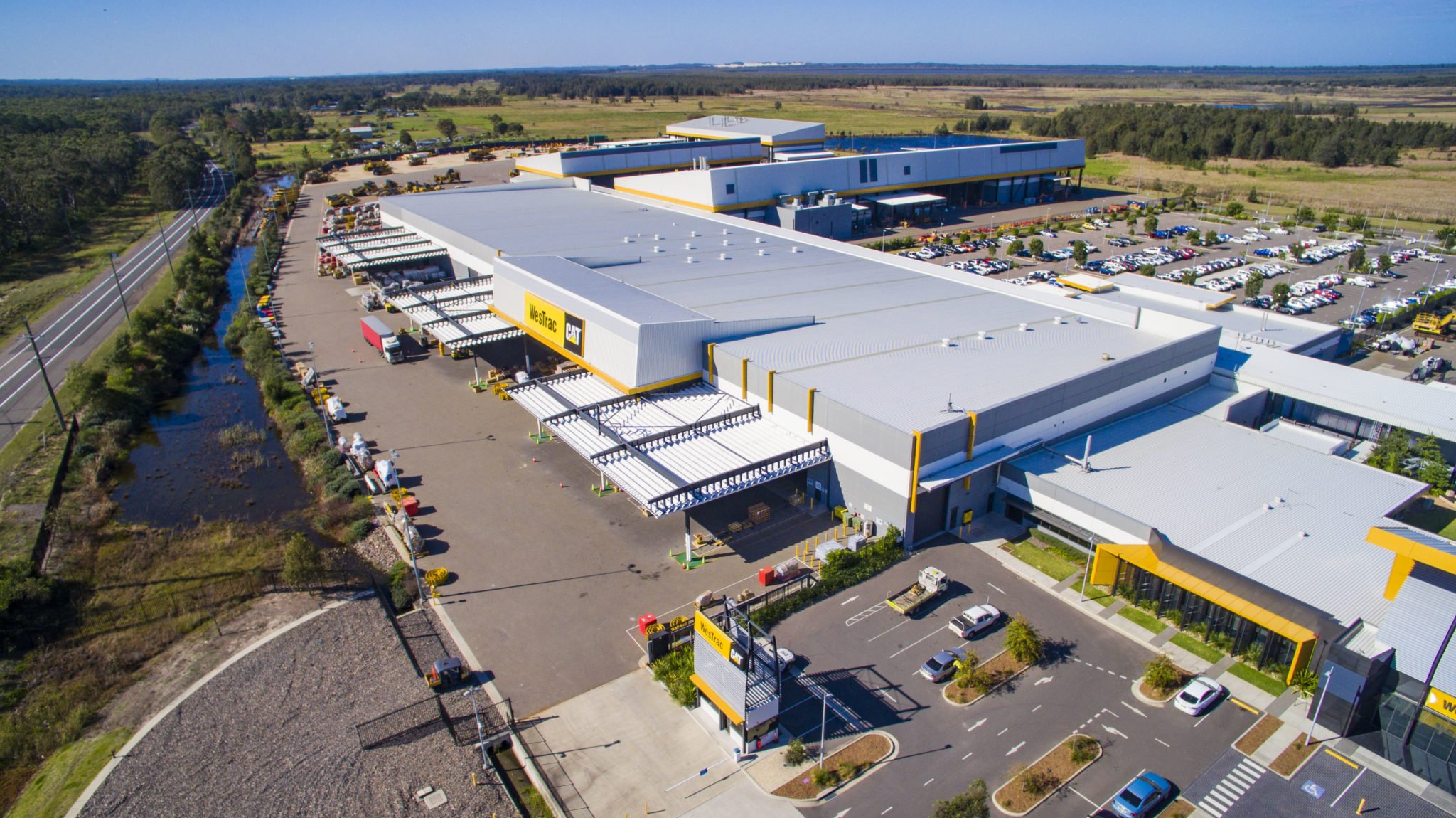
It will not shock readers that Measure Australia is based in the land Down Under. Projects have taken us to the Middle East, Europe, NAFTA and Asia, and of course New Zealand, but at least 75% of our work is in Australia itself. And if you work in Australia the likelihood that you work with mining and minerals clients is very high – and Measure has indeed done a lot of work at mine sites as well as some in mineral processing and heavy industry.
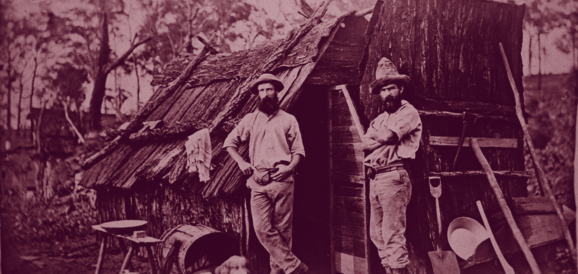
.png?width=600&name=Queensland%20mining%20hut%20(credit%20State%20Library%20QLD).png) Mining in Australia has come a long way since these two gold miners tried their luck in Queensland (credit State Library of QLD)
Mining in Australia has come a long way since these two gold miners tried their luck in Queensland (credit State Library of QLD)
Applications showcase
Measure has classified drone-supported mining applications into four themes, across exploration, operations, reporting and safety. Each of these application areas can be served independently; it is our recommendation however that a complete programme across the themes adds operational and reporting efficiency.
| Exploration | Operations | Reporting | Safety |
| Surface mapping | Asset management (facilities) | Financial reporting | Surveying & 3D mapping |
| Strip planning | Asset management (equipment) | EPA and statutory reporting | Tailing dam management |
| Construction monitoring | Pit mapping & management | Operational reporting | Work at height |
| Stope stability | Erosion oversight | ||
| Overburden verification | Water composition reporting |
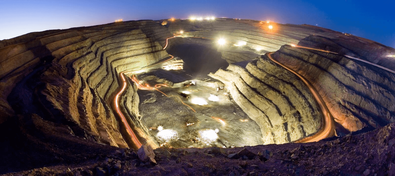
.png?width=600&name=LiDARelev-4.1%20(small%20800px).png) LiDAR of water flow channels, vegetation and land contours (~3000 ha)
LiDAR of water flow channels, vegetation and land contours (~3000 ha)
Data collection
The majority of Measure Australia’s mining related work is in photogrammetry (such as stockpile management), mapping (exploration, pit management, stockpile and asset management) and thermal imaging (asset management and equipment efficiency). We have collected other sensor data types, from ultrasonic to piezo and acoustic as well, based on client requirements. Measure collects the majority of its data via drone, but again we have a wider set of options available to us based on client needs and circumstances. Measure routinely pulls fixed wing flight data, vehicle mounted sensor data, underground drone and static mounted sensor data for specific needs.
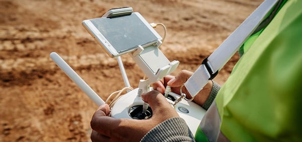 Flying drones in Australian mine sites, collecting data of many types
Data processing and management
Organisations today typically hold a lot of data. Mining companies typically have a lot of many different types of data – digital data, of course, as well as physical reports and samples. One mining company we recently spoke with had 50 years of imagery they sought to digitise in a useful manner. So the question is usually not whether you have enough information, but whether you can integrated that data in a helpful way to derive insights and inform actions.
Measure Australia uses the Asseti platform to hold, process and report findings. Asseti amplifies the utility of the data Measure Australia collects, because it enables clients to easily zoom in and out of reports, compare historical information and add any data sets they want to wash against.
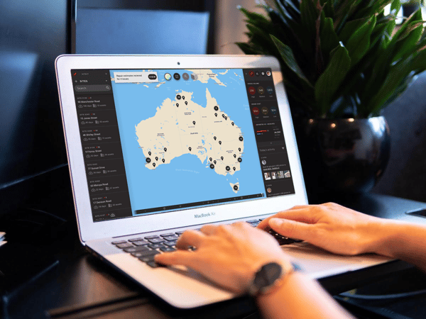
Measure Australia processes and serves data via Asseti
If you would llike a drone data collection programme, but prefer to build it DIY, please use this button and collect your guide courtesy of Measure Australia: