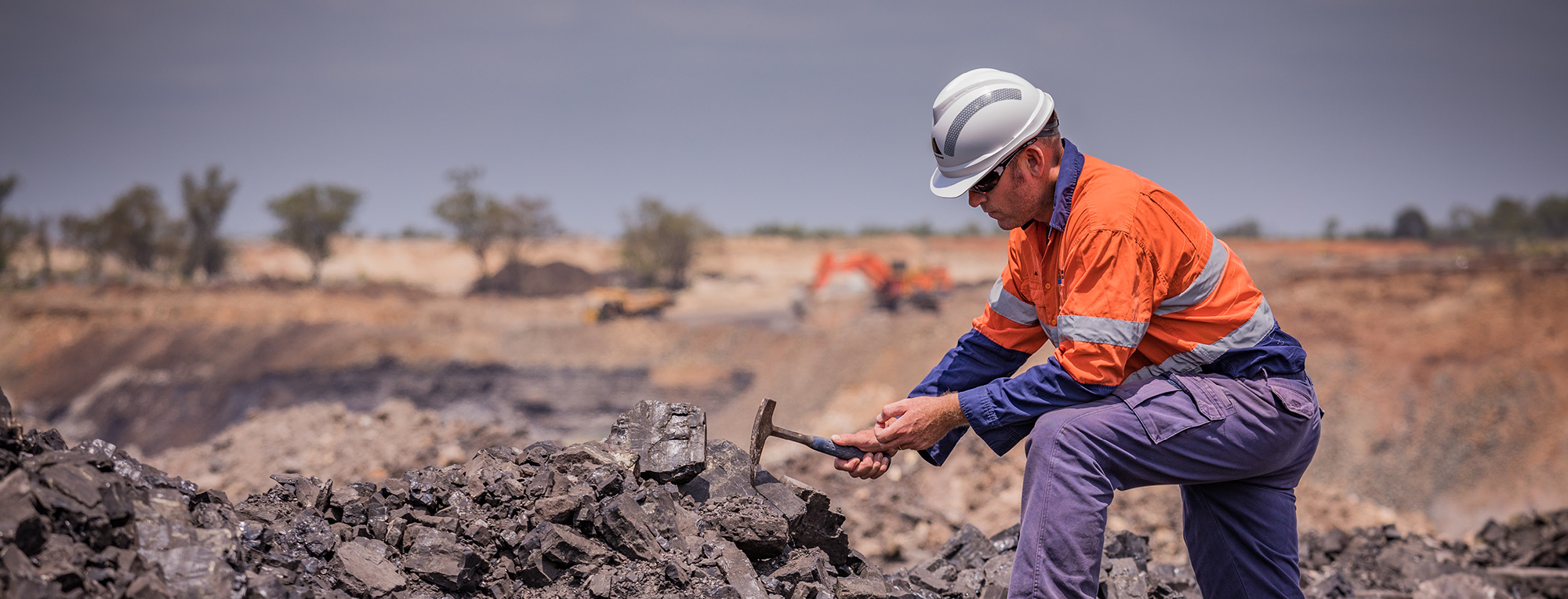
Stockpile management is vital in mining, quarrying, construction aggregates and any other application or sector where large volumes of physical material are stored, consumed or sold. Accurate stockpile data is necessary to efficient operations – but traditional surveying is dangerous, costly and time consuming. Survey teams physically entering the field to take precise measurements is increasingly considered an unacceptable exposure, as there are lower risk and more accurate alternatives made available with emerging technology.
Drone data collection – especially using modern laser sensors – coupled with a smart data platform is the answer.
How is highly accurate stockpile management beneficial?
The quote “what gets measured gets managed” is often misattributed to thought leader Peter Drucker, and has become controversial. So it is refreshing to consider a realm in which it is incontrovertibly fair. Stockpiles simply cannot be managed if they aren’t measured, accurate measurement facilitates more precise management, and more precise stockpile management is intrinsic to better operational efficiency.
Stockpile management is foundationally connected with supply chain and operational efficiency in resources and similar sectors . Accurate stockpile control enables:
-
Optimal mine extraction
-
Timely replenishment of consumables or stock
-
Efficient team assignments
-
Elimination of unplanned downtime
How to measure stockpiles accurately?
Drone data collection coupled with a powerful data platform is the most efficient method currently available to measure stockpiles. Drones are versatile for deployment day or night, and with the slightest management can be managed without scheduled downtime.
The factors to be considered are:
-
The type of drone used
-
How piloting is managed
-
The payload – that is, the camera or radar sensor deployed
-
Which data platform will be used for processing and visualisation
Some stockpile operators manage his independently, running a fleet of pilots, drones, and managing their operating licences and approvals. There are guides for that model (including from Measure Australia!) and bottom line that will entail having a Chief Pilot or similar able to manage hardware selection, quality control and the intricacies of air law compliance under CASA and the Civil Aviation Safety Regulations, plus the engagement with stakeholders such as AirServices Australia. Data platform management will also need integration to self-operators.
Stockpile measurement as a service
Measure Australia eliminates the complexity of accurate stockpile management by delivering stockpile measurement and drone data collection as a service. Our model combines a centralised team of highly skilled and experienced data and platform analysts, Chief Pilot and operations staff and a sizeable network of hundreds of pilots across the country. Managing hardware including payload, data processing and air compliance eliminates a great deal of complexity for stockpile managers.
Measure Australia’s team was able to distil a straightforward series of questions that would facilitate a professional recommendation on how ‘stockpile measurement as a service’ would look for a facility operator.
Measure Australia’s questions
-
What materials are you stockpiling?
-
How many discrete stockpiles do you manage?
-
Where are they located and across how large an area?
-
What is the estimated change in volume in time (eg, roughly 10% per week, 25% per month)
-
How consistent is your usage?
-
What is your reporting cadence?
This information should, in most circumstances, enable stockpile measurement as a service to be scoped, including answering the question most stockpile managers worry over – frequency.
Use case: stockpile management
This is a blind case study of a Measure Australia project.
Demographics
Type of organisation: mid-tier mining
Sector: aggregate operations serving construction
Services: data capture, processing and advisory as a service
Number of sites: eight quarries
Previous operation
-
Management contracted a team of surveyors to visit sites twice annually
-
Surveyors conducted mapping on the ground
-
Reports were issued as PDFs and included volumetric measurement with comparison to earlier volume findings and deliveries
Operations with Measure
-
Outsourced stockpile measurement as a service with drone data collection
-
Drone survey conducted four times annually
-
Data processing conducted by Measure
-
Reporting via the Asseti platform with on-demand view of all historic measurements and input/output change reports
Result of new stockpile measurement and management method
-
Reduction in survey hours by 10x – each site surveyed in 1 man hour instead of 20 (less time and fewer people in team), with twice as many surveys annually
-
Estimated stockpile accuracy improvement of 7.4%, due to increased frequency and higher resolution readings
-
Improved operational efficiency due to improved accuracy 2.8%, based on 2 years of new operations
-
Reduction in annual costs of 73%